Features
Every capability, one page each.
Everything here is in the community edition, free under MIT.
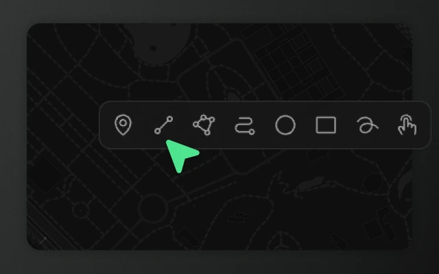
Draw any shape, straight from the keyboard.
Drawing tools for web maps — area (polygon), line, point, rectangle, circle, freehand, road-snapped route, and OpenStreetMap picker. Works with Leaflet and MapLibre.
Learn more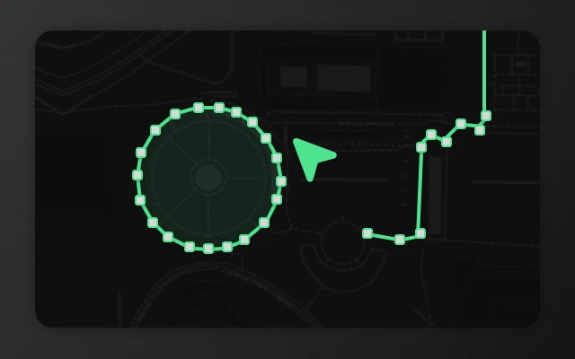
Reshape any feature with a drag, a click, or a key.
Drag vertices to move. Click edge midpoints to insert. Backspace to delete. Works on every shape type, including multi-geometries.
Learn more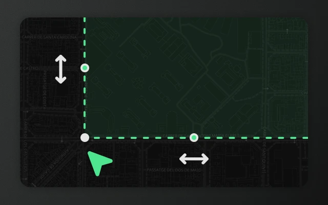
Move, scale, and rotate any set of features.
Click to select, shift-click to multi-select, lasso for bulk. Press A to transform — scale and rotate any selection with live preview.
Learn more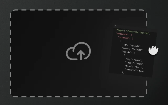
GeoJSON in from anywhere. Out wherever you need it.
GeoJSON in and out — paste, file picker, file drop, OpenStreetMap picker, or code. Replace or merge, with a clear report of what was skipped.
Learn more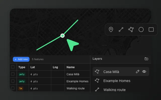
Show only what your users need, exactly where they expect it.
Choose which buttons your map editor shows and where they go. Place any built-in control on the map or in a status bar, hide the rest, and add your own buttons that match. Free under MIT.
Learn more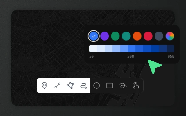
Match the editor to your product.
Light, dark and auto, one brand colour for every accent, and CSS design tokens for a full custom theme. Match Element Editor to your product.
Learn more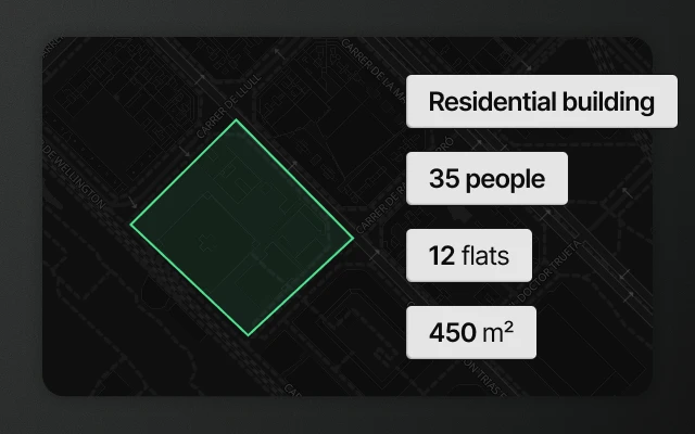
Collect structured data with every shape you draw.
Define typed property fields for your map features. Element Editor generates validated forms from named schemas and embeds the data in standard GeoJSON. Free under MIT.
Learn more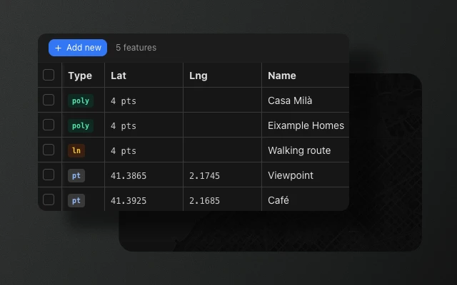
Every feature as a row. Every property as a column.
Every feature as a row. Every property as a column. Edit inline, sync with the map, and export as GeoJSON. Free under MIT in Element Editor for React, Leaflet, and MapLibre.
Learn more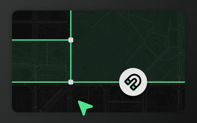
Magnetic snap to every vertex and edge on the map.
Magnetic snap to nearby vertices and edges while drawing or editing. Active by default, one switch in Settings, works across all features.
Learn more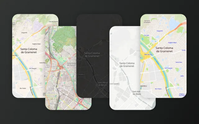
Ship a styled map with no API key and no tile account.
Streets, terrain, light, dark and OpenStreetMap styles come with Element Editor's MapLibre editor. No tile account, no API key. Switch at runtime and your users' shapes stay on the map.
Learn more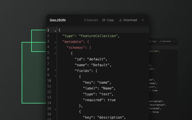
See your GeoJSON live. Edit it when you need to.
See and edit your GeoJSON live. Syntax-highlighted, two-way editing, JSON and schema validation. Free under MIT in every Element Editor package.
Learn more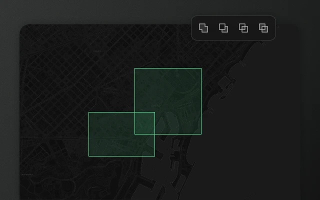
Combine polygons without freezing the page.
Union, intersect, subtract, cut hole, and slice for polygons, with the heavy polygon math in a Web Worker so the UI stays responsive.
Learn more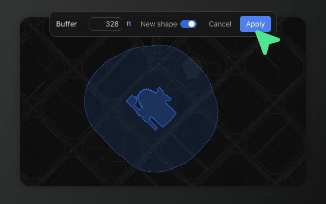
Clean up the real shapes your users draw.
Geometry-processing tools for polygons and lines — buffer, simplify, smooth, break apart, and merge, with live previews computed off the main thread.
Learn more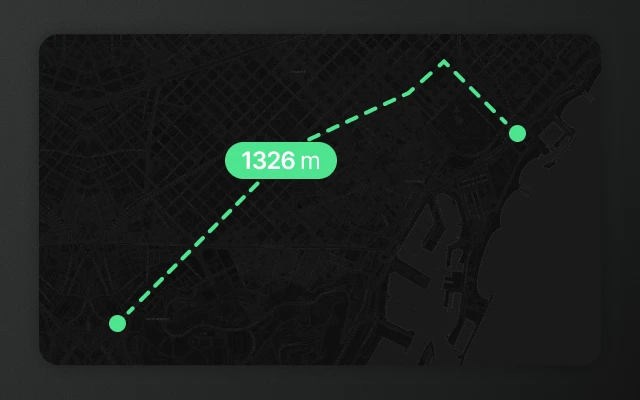
Measure without leaving a trace.
Press M to measure. Click to add points for distance, or switch to area and click the corners. Results overlay the map without adding features to your collection.
Learn more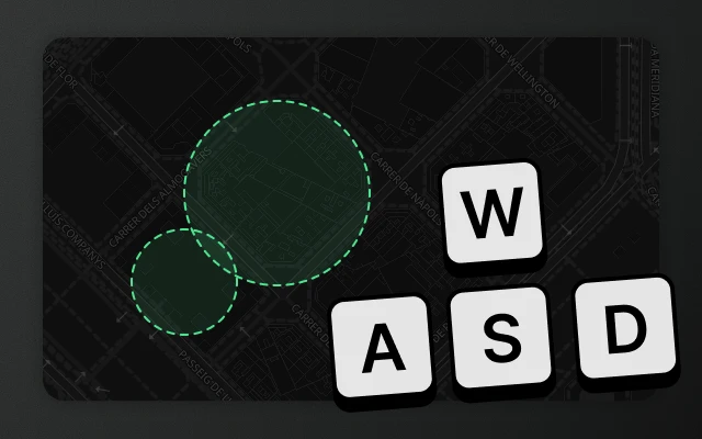
Every tool has a key. Every key is yours to remap.
Every tool has a default key. Every key is remappable. Press K to open the shortcuts panel and customise any binding.
Learn more